The Guide toSan Francisco's Twin Peaks
Discover amazing views of San Francisco and the Bay Area from atop Twin Peaks.
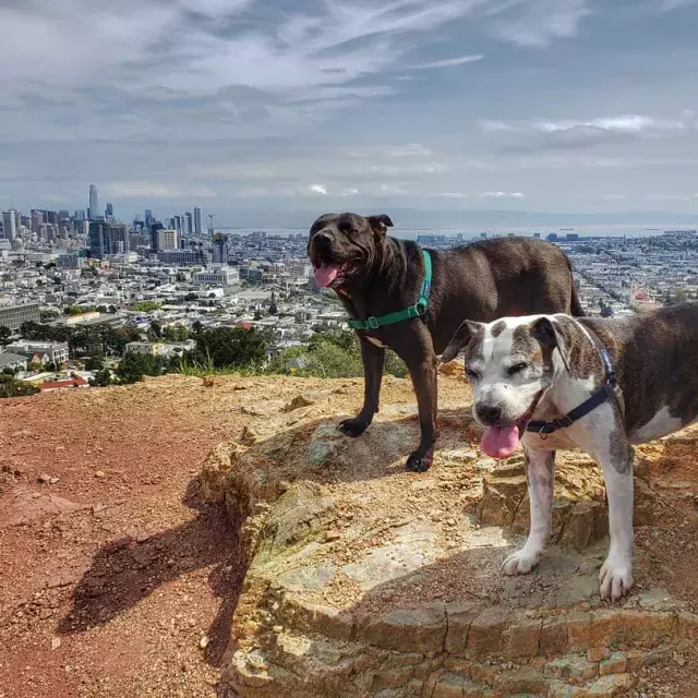
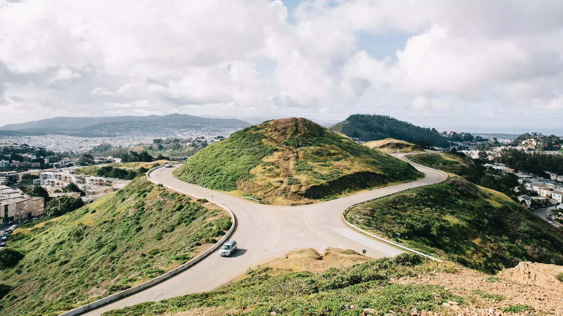
A permanent fixture of the city landscape, you get your first glimpse of Twin Peaks towering over the city as you ride across the Bay Bridge. Located in the geographical center of San Francisco with an elevation of about 925 feet (282 m), Twin Peaks offers a stunning 360-degree panoramic view of the city, the bay and the ocean beyond.
On a daily basis, you will see countless bicyclists racing to the top and photographers and filmmakers jockeying for the perfect shot. The view, which spans from Ocean Beach and the Golden Gate Bridge to the Mission District and Potrero Hill, will leave you breathless. Twin Peaks should be firmly planted on any visitor’s must-see list.
General Visitor Info
Wear sturdy shoes and dress for windy conditions if you are planning to hike to the top. There is a terrific view at the top, but if you want to get the full experience, enjoy a half mile walk around the whole area. There are some relatively steep ascents and descents on this trail. You can also drive to the summit parking lot where a sidewalk curves around a portion of the hill and you can enjoy the view from a telescopic viewer for 50 cents.
The Best Time to Visit Twin Peaks
Want to blow up your Instagram feed and make everyone jealous? The best time to visit Twin Peaks is either right before sunrise or sunset. If you can't get there that early or don't want to wait until sunset, head up there on a foggy day. The fog diffuses the harsh light, making it ideal for Instagram-worthy photos.
What to Expect at the Top of Twin Peaks
Twin Peaks is 925 feet above sea level, so don't be deceived by the good weather down below. Pro tip: look up in the sky before starting your way up to Twin Peaks. Clouds and fog might be waiting for you up there. Bring extra layers, especially as the sun goes down.
How to Get There
There are two common ways to get to Twin Peaks by car:
- The easiest way to get to the base of the mountain is by Market Street. From downtown, take Market southwest until it turns into Portola. From Portola, take a right on Twin Peaks Blvd. and follow the road up to the top.
- Another route is to take Market to 17th, then go left on Clayton, then right on Twin Peaks Blvd. After you take the right, take another left to stay on Twin Peaks Blvd. and then you can wind up to the parking lot on the summit.
If you are not driving, there are also some other options:
- Bike rental: You can rent a bike and take the same route to Twin Peaks as you would with a car. Please note that there are no bike lanes on this winding road so you have to be very cautious.
- Hiking: Follow the same path that you would take in a car or bike. However, once you are at the base of the peaks, you can choose to climb straight up the hillside rather than take the roadway. This is possibly the best way to get to Twin Peaks without a car, as you will find 360-degree views that surpass those at the north peak overlook. Additional trails follow the southern and eastern slopes of the park. Be sure to stay on the trail to avoid poison oak (depending on the time of year).
- Public transportation: There are currently no public buses that go to the top of Twin Peaks, but you can take 37 Corbett Muni bus close to the base of the peak and then hike up to the top.
- Tour bus: Many of the tour bus operators in San Francisco include Twin Peaks on their trip.
Did You Know?
Each peak has its own name. The North Peak is called Eureka Peak and the South Peak is Noe Peak.
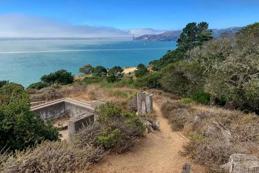
Forget the San Francisco Icons: The Most Beautiful Spots in the City
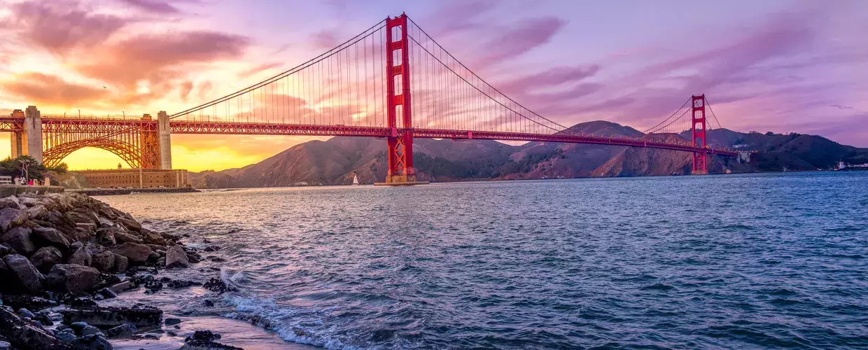
The next time you're in San Francisco, you’ll want to check out all of these beautiful spots, not just the icons.
Sign Up for Our Newsletter
Be the first to know about upcoming events and festivals, new restaurants, special deals, and everything else happening in the City by the Bay.

